Information on this page is for customers in
{{ town-name }}
Quinebaug
The Quinebaug property consists of 330 acres of agricultural fields, forested areas, and wetlands/floodplain in northeastern Connecticut.
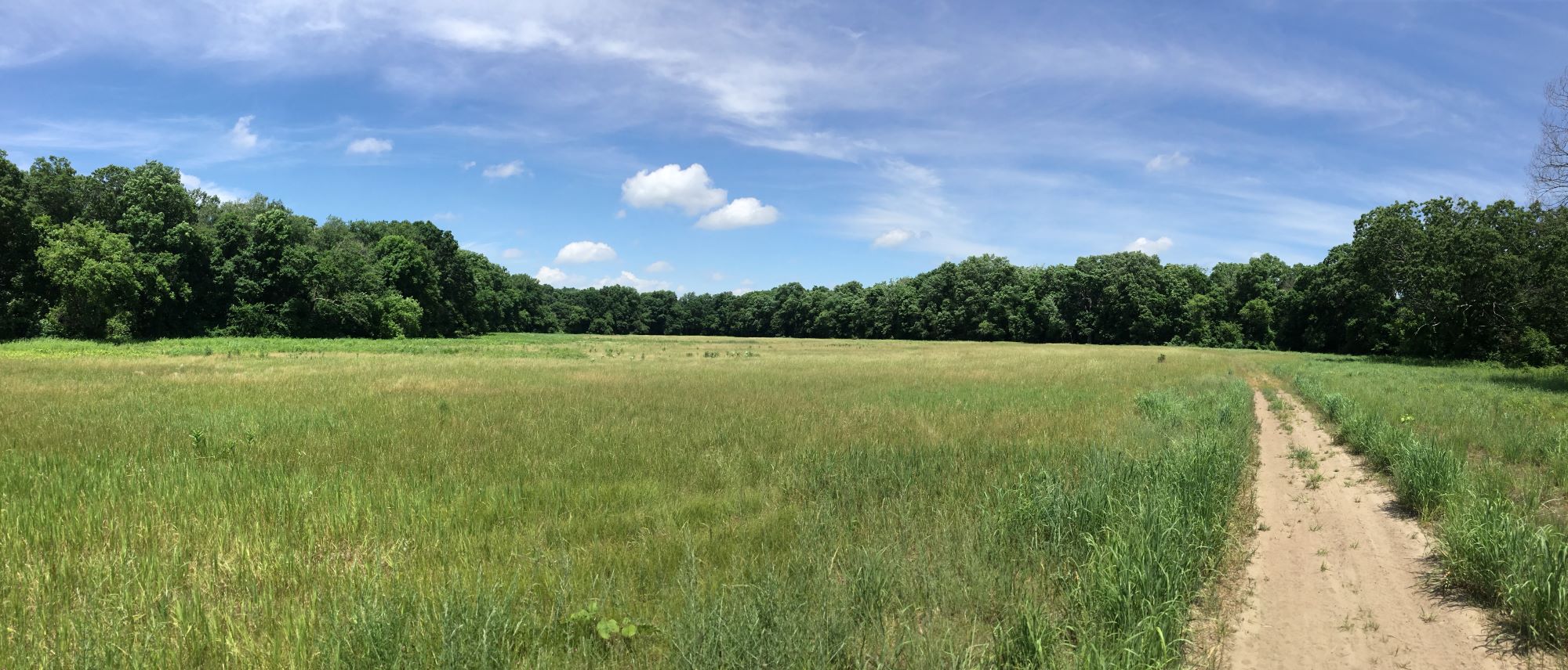
Historically, the property was used for agricultural purposes as evidenced by stonewalls and large, open grown hedgerow trees.
Quinebaug contains a diversity of natural features, habitats, and land uses. Electric utility facilities on the property include transmission line corridors, a distribution line, and a small substation.
This property provides valuable early successional habitat for wildlife. The Quinebaug River is of regional significance, and is recognized as part of The Last Green Valley.
The name "Quinebaug" comes from the southern New England Native American term "Quinibauge," meaning “large pond.”
In addition to the Quinebaug area, other nearby open space properties include Natchaug State Forest, Quaddick State Forest, Pachaug State Forest, Mashamoquet State Park, Old Furnace State Park, the Quinebaug Wildlife Area, and the Airline Trail (rails-to-trails park).
Facts
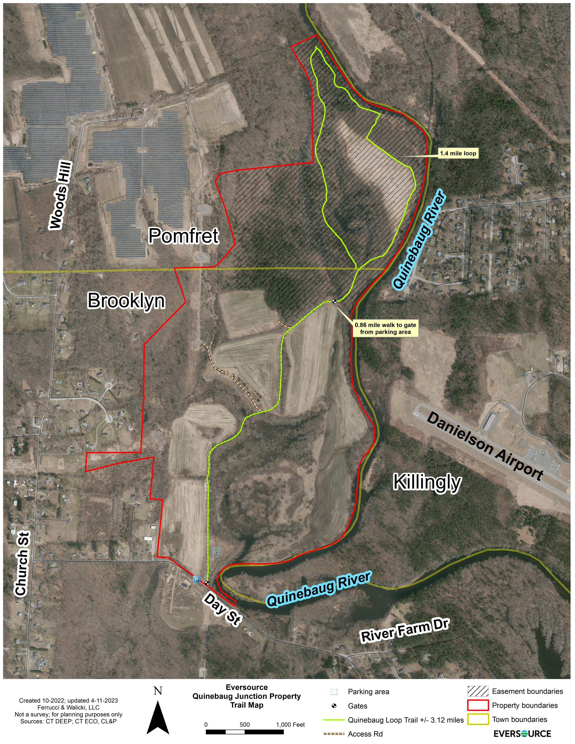
- Access: Designated parking area along the north side of Day Street in Brooklyn, CT
- Location: Brooklyn, CT
- Size: 330 acres
- Recreation: Hunting (permit only); fishing; hiking; wildlife viewing/bird watching; wildlife/nature photography
- Features: 1.9 miles of Quinebaug River frontage; hiking trails; farmland and wetlands; managed forest; Eversource managed hunting area
- Wildlife: Waterfowl; grouse; deer; turkey; fish
How To Get There
From Hartford: I-384E to US-6E/Hop River Rd, Take the ramp to US-6E/Boston Post Rd, Turn right onto US-6E/Boston Post Rd, Turn Left onto Church St, Turn right onto Day St.
From New Haven: I-395N, Take Exit 91 to merge onto US-6W/Providence Turnpike toward Danielson/Hartford, Turn right onto Day St, Turn left to stay on Day St.